
The Ocean Spotter app is built for the moment you come out of the water. You record your sighting right at the dive site or on board, while the memory is still fresh — location, species, count, depth, photos.
The app uses the same accounts as the website. Registration and login are identical: an account you create here works in the app straight away — and the other way round. Whatever you record while out and about shows up in your web profile immediately afterwards.
The app is free, speaks seven languages and comes with a dark mode for night dives and dim boat cabins.
Get the app from the App Store or Google Play. Sign in with your existing account or register right inside the app — both lead to the same profile.


The wizard starts with a map. "Use my location" takes the GPS coordinates from your device. If you have since moved on, or GPS was unavailable underwater anyway, you simply tap the spot on the map and drag it until it is right.
The location is the one mandatory field that needs a real entry — without coordinates a sighting can neither be shown on the map nor evaluated scientifically.
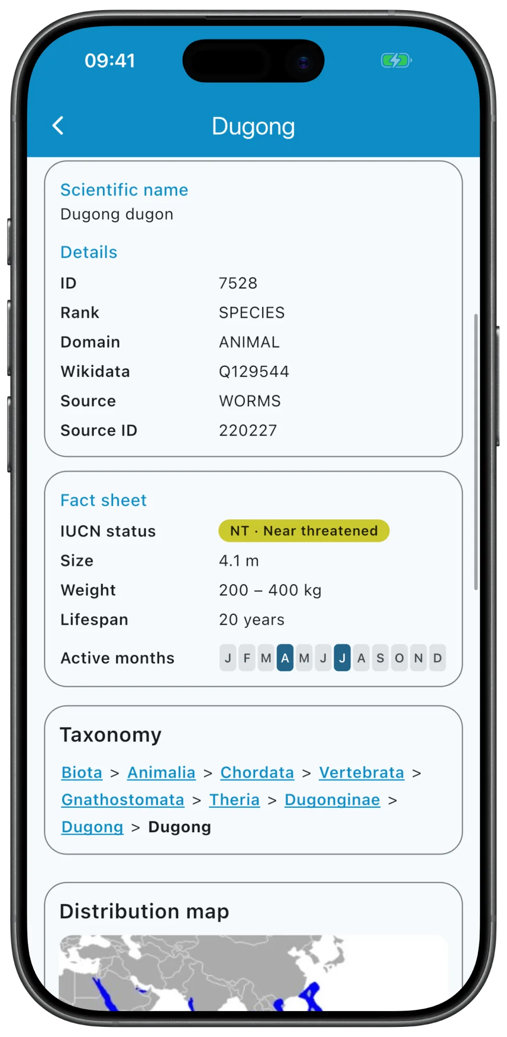
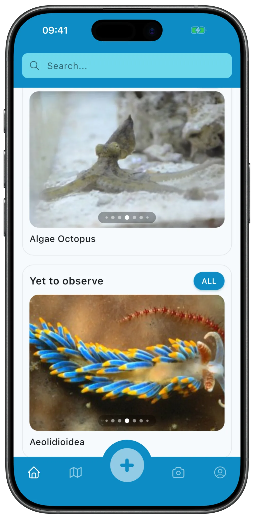
You look up the species through the taxonomy: either straight through the search field, or by drilling down from the broad group into its subgroups until you reach the right species.
And if you are not sure? Then you pick "I don't know". The species is a mandatory field, but "unknown" is a perfectly valid answer — that is exactly what the option is there for. An unidentified sighting beats no sighting at all: the community can suggest identifications later on, especially if you added photos.
For the count there is a stepper with increments of ±1 and ±5 — with a larger shoal you can quickly tap your way to a sensible estimate. The depth is entered in metres.
Both are optional. If you could not estimate the number, or did not read off the depth, just leave the field empty and move on. A sighting without a count is still a sighting.
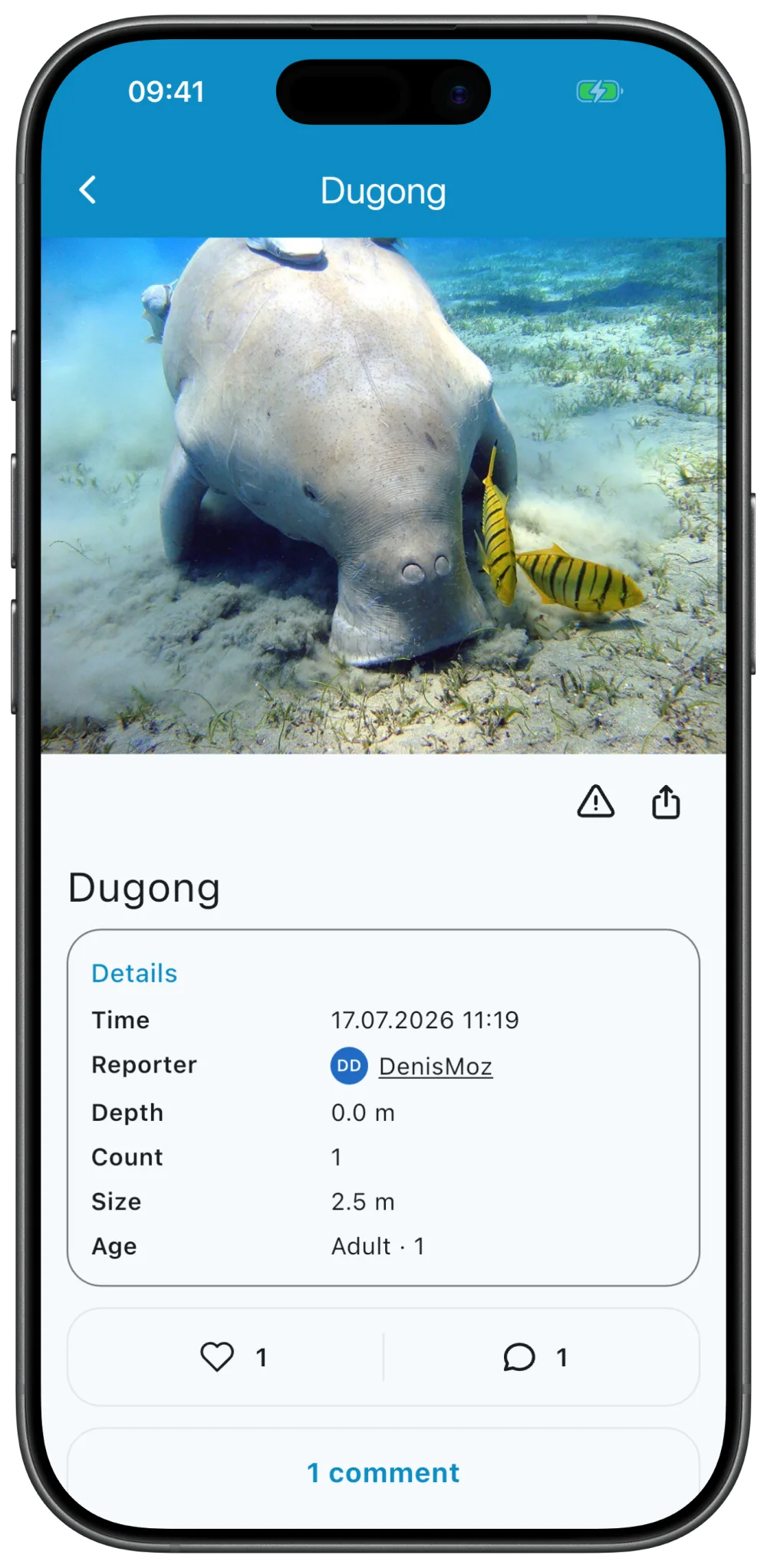
Here you add what makes the sighting more valuable for analysis: notes on behaviour or surroundings, the size of the animals in metres, plus a breakdown by sex (male, female, hermaphrodite, unknown) and by life stage (adult, juvenile, unknown).
Everything in this step is optional. Enter what you know for certain and leave out the rest — a guessed value is worse for the analysis than a missing one.
You pick footage from your gallery or capture it directly with the camera. Then you decide which image appears as the main one. Videos can be trimmed before uploading, and you choose a suitable preview frame from them.
Media are optional — but they are the single best lever for a later identification by the community.
One note: from this step onwards, going back is blocked. The sighting has already been created at this point, and the block prevents a second entry for the same observation from being created by accidentally running through the wizard again.
To finish, the app generates a QR code for your newly created sighting. It is the invitation to your dive buddy to confirm the observation.
You can show the code straight away while you are still on board together — or call it up again later from the sighting itself. Confirmation is not compulsory, but it turns your observation into a data point witnessed by two people.
At the dive site a stable signal is rare — on a boat off the coast there is usually none at all. So the app does not assume you are online. Everything you record is stored on the device first and transmitted automatically later on.

Your dive buddy scans the QR code with their own Ocean Spotter app and thereby confirms that they made the same observation. After that, the sighting appears in both logbooks: with you as the recorder, with them as the confirming observer.
If you are no longer together, a link works too — you send them the confirmation link and they open it in their app.
This is the point that sets Ocean Spotter apart from a private logbook. A sighting is then no longer just your statement, but an observation witnessed by a second person — and that is exactly what makes it robust for research and conservation.
Photos from cameras and smartphones carry metadata with them: the capture device, its settings and very often the GPS coordinates of where the shot was taken. With protected species, precisely that can become a problem. So the app handles it carefully — and you decide which licence your material is under.
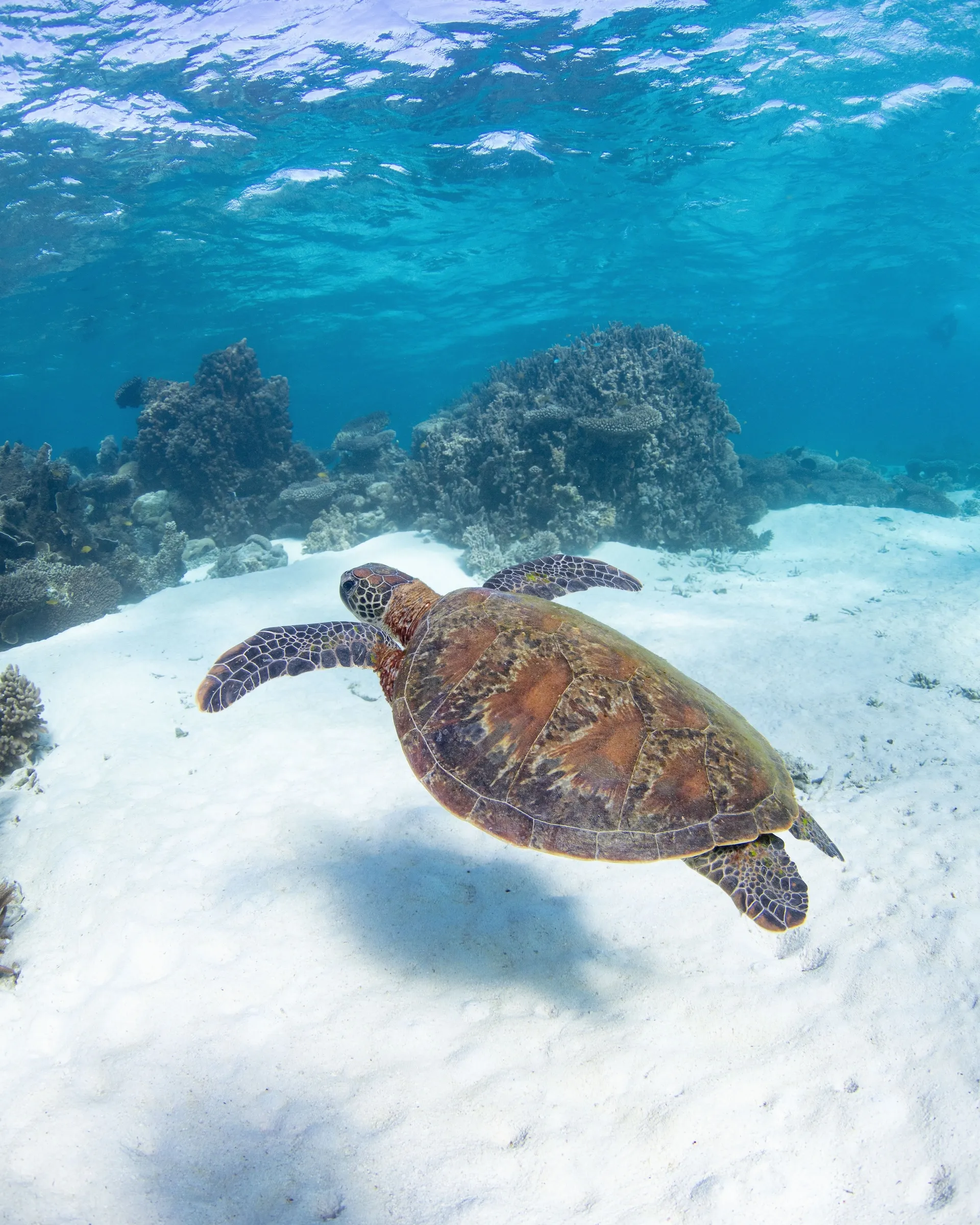
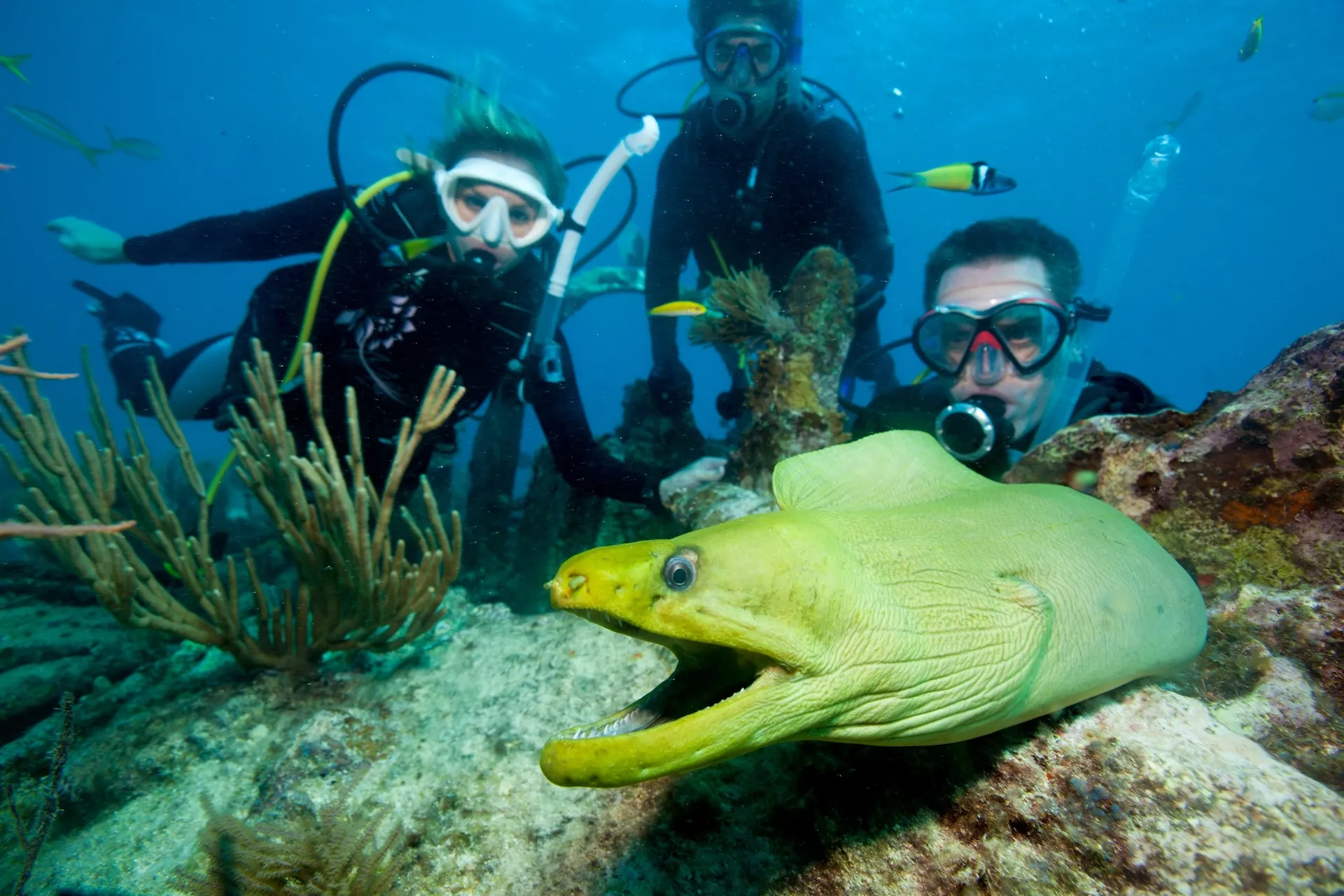
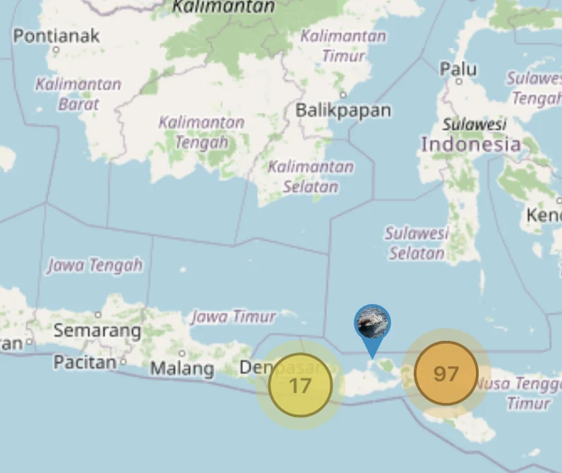
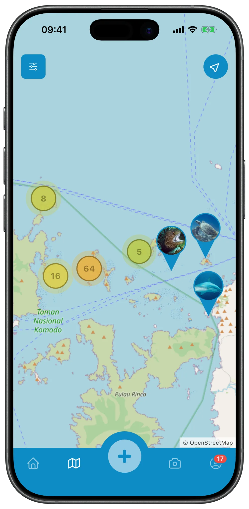
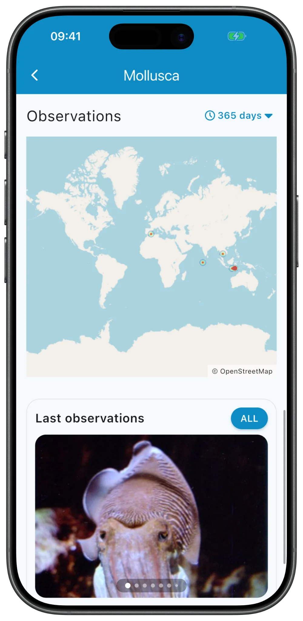
Sightings appear as marker clusters or as a heatmap. You filter by period and by detail — depth, sex, life stage, confirmed sightings only, those with images only, or specifically the ones that still need an identification.
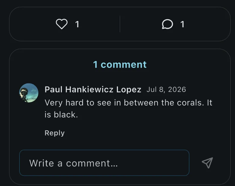
Other members can suggest identifications for unidentified sightings. You follow observers whose sightings interest you, give likes and discuss in the comments.
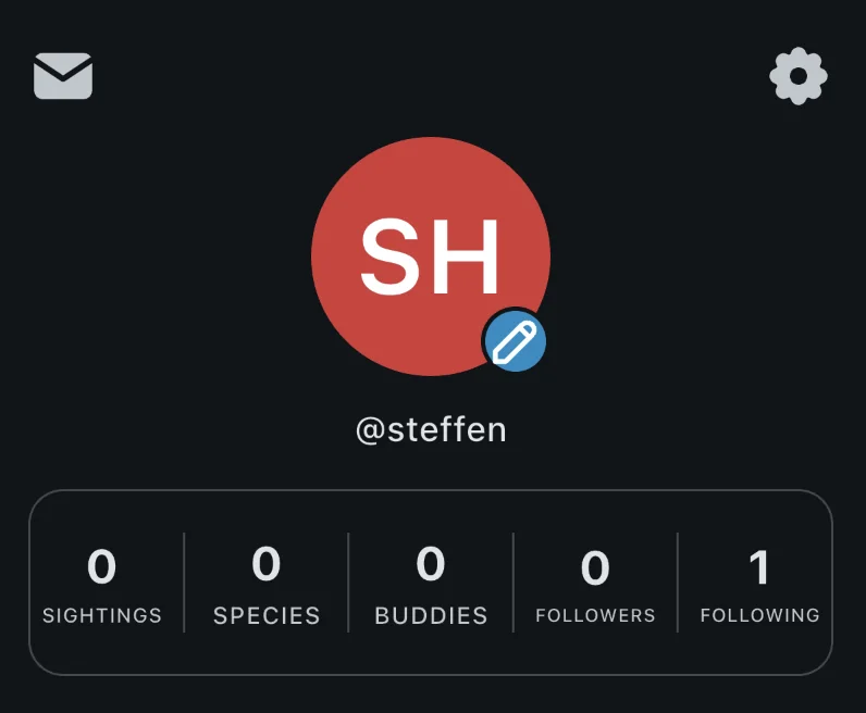
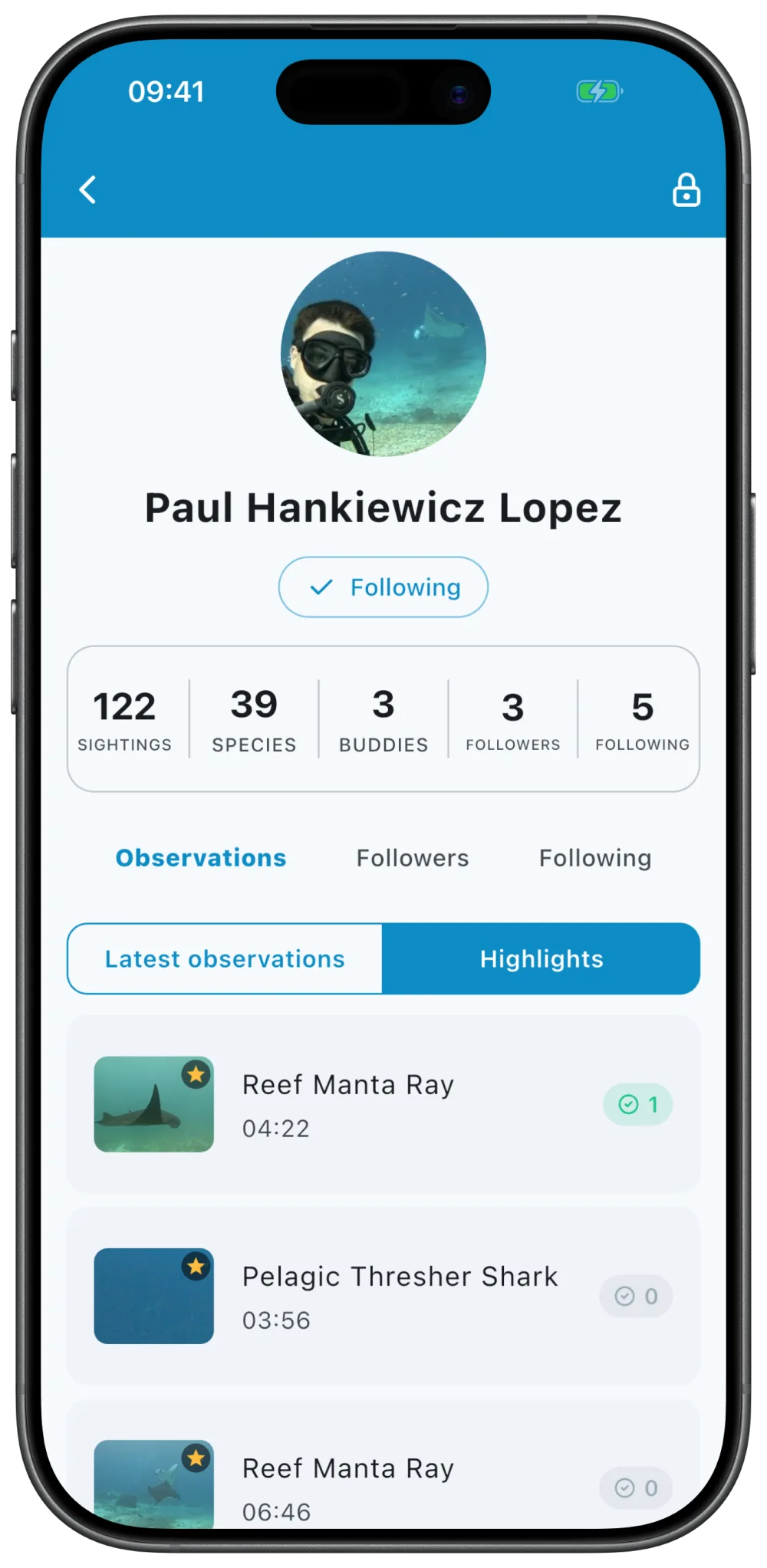
Your profile shows what has added up — how many sightings you have recorded, which species you have observed and which dive buddies you were out with.
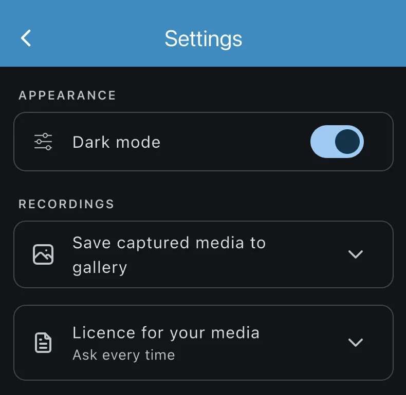
The app speaks seven languages and has a dark mode. Every sighting also has its own web page — share the link and, on a device with the app installed, it opens straight in the app.
Install the app before your next dive and sign in once — then you can record right at the water's edge, even without a signal.